Recent searches
Search options
#DGGS
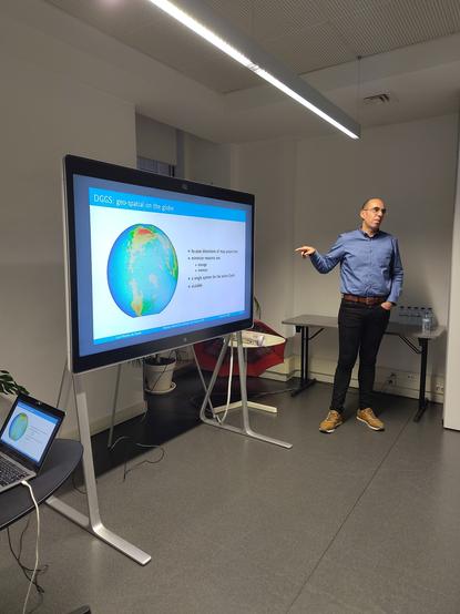
Tutorial about #dggs, discrete global systems, a well organised "library", addressing fundamental issues from #gis(: João from geoinsight at #codesprint25 #mentorstream
In today's #GeoMob in Lisbon my introduction to Discrete Global Grid Systems was elected as best presentation.
I am grateful to the organisers and the participants. But this wouldnt have happened without the work from those that for over thirty years have been pushing #DGGS ever closer to the end user. I stand on the shoulders of giants.
The prize was a fine copy of this historical map, "Portugal laying down", in which West is up.
Great new paper in #BigEarthData on #DGGS practical application on #landuse mapping at #ManaakiWhenua #LandcareResearch New Zealand. While they used #H3 due to available tooling they described the generalisable methodology really well.
https://www.tandfonline.com/doi/full/10.1080/20964471.2024.2429847 #geospatial #gis
Advancing Digital Earth Modeling - Hexagonal Multi-Structural Elements In Icosahedral DGGS For Enhanced Geospatial Data Processing
--
https://doi.org/10.1016/j.envsoft.2023.105922 <-- shared paper
--
https://en.wikipedia.org/wiki/Discrete_global_grid <-- DGD wiki page
--
[the math is way over my head, hence the wiki page leak, but a good read nonetheless]
“HIGHLIGHTS:
• Hexagonal multi-structural elements enhance Earth's surface modeling precision.
• Integration of indexing and conversion rules improves geospatial data computation.
• DGGRID implementation shows increased precision in raster and vector data modeling.
• Addresses limitations in existing software for Earth observation data.
• Pioneering approach expands geospatial data processing applications…"
#GIS #spatial #mapping #DiscreteGlobalGrid #DGG #DGGS #indexing #conversion #rules #computation #Hexagonal #DGGRID #raster #vector #data #model #modeling #earthobservation #remotesensing #grid #vertices #edges #icosahedral #projections #coordinates #representation
Major drop in productivity on the second day of code sprint at #FOSS4G2023. Seven days of constant stimuli taking their tool.
This morning I been working on a #pygeoapi manuscript and a bit on #DGGS. See if I can get to #BBox and #SPARQL Unicorn in the afternoon.
Release v0.2.6 of #dggrid4py adds functionality to split cells along the 180º meridian. This allows purely Cartesian programmes like #QGis to portray a #DGGS.
Still a brute force approach, needs an heuristic to limit down the set of cells tested.


